Reading a river
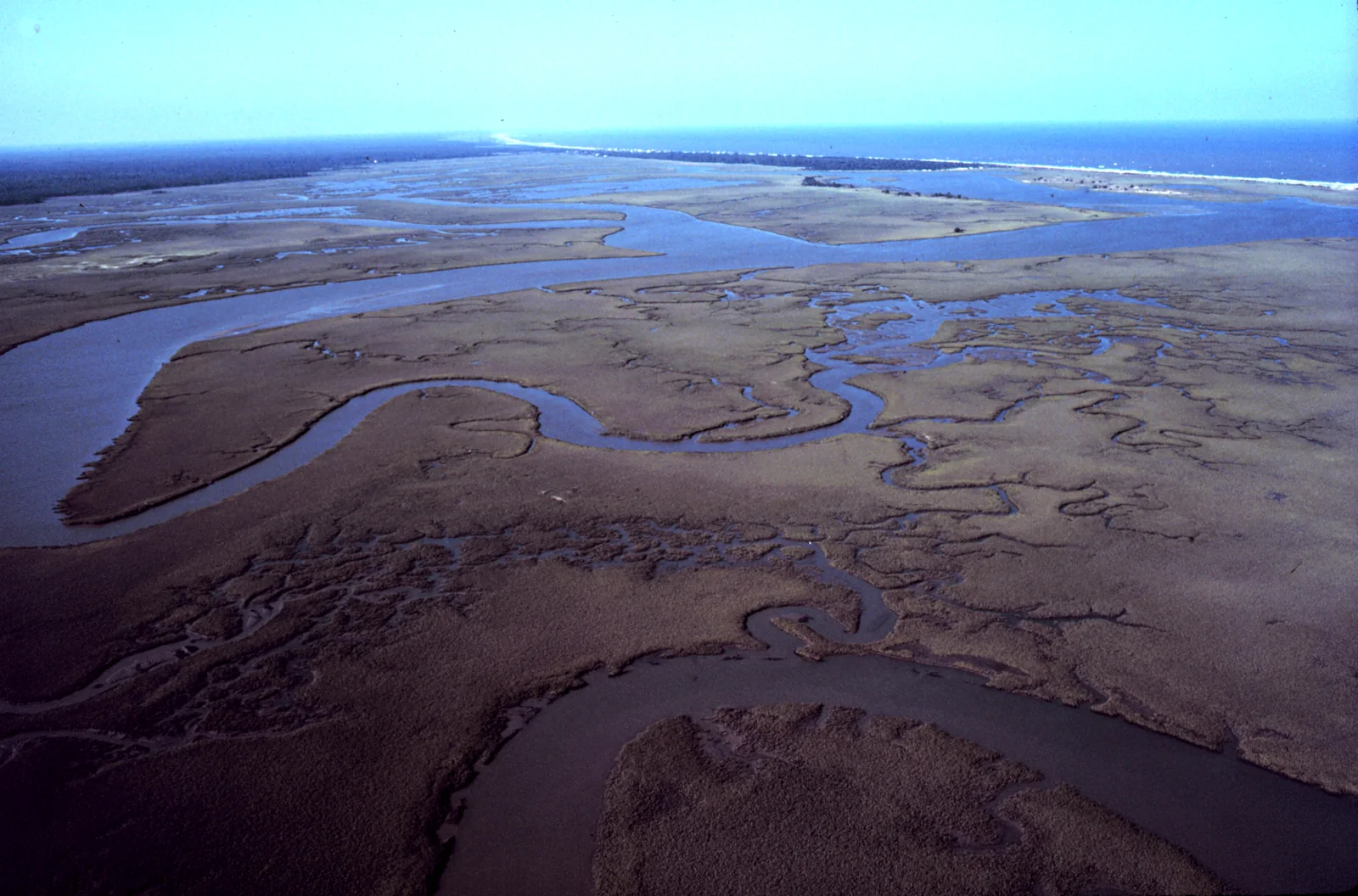
River habitat is distributed through the channel and its margins. Flow, depth, substrate, bends, tributaries, wood, banks, and riparian plants shape a moving patchwork that can change between visits.
Last updated
Break the channel into flow units
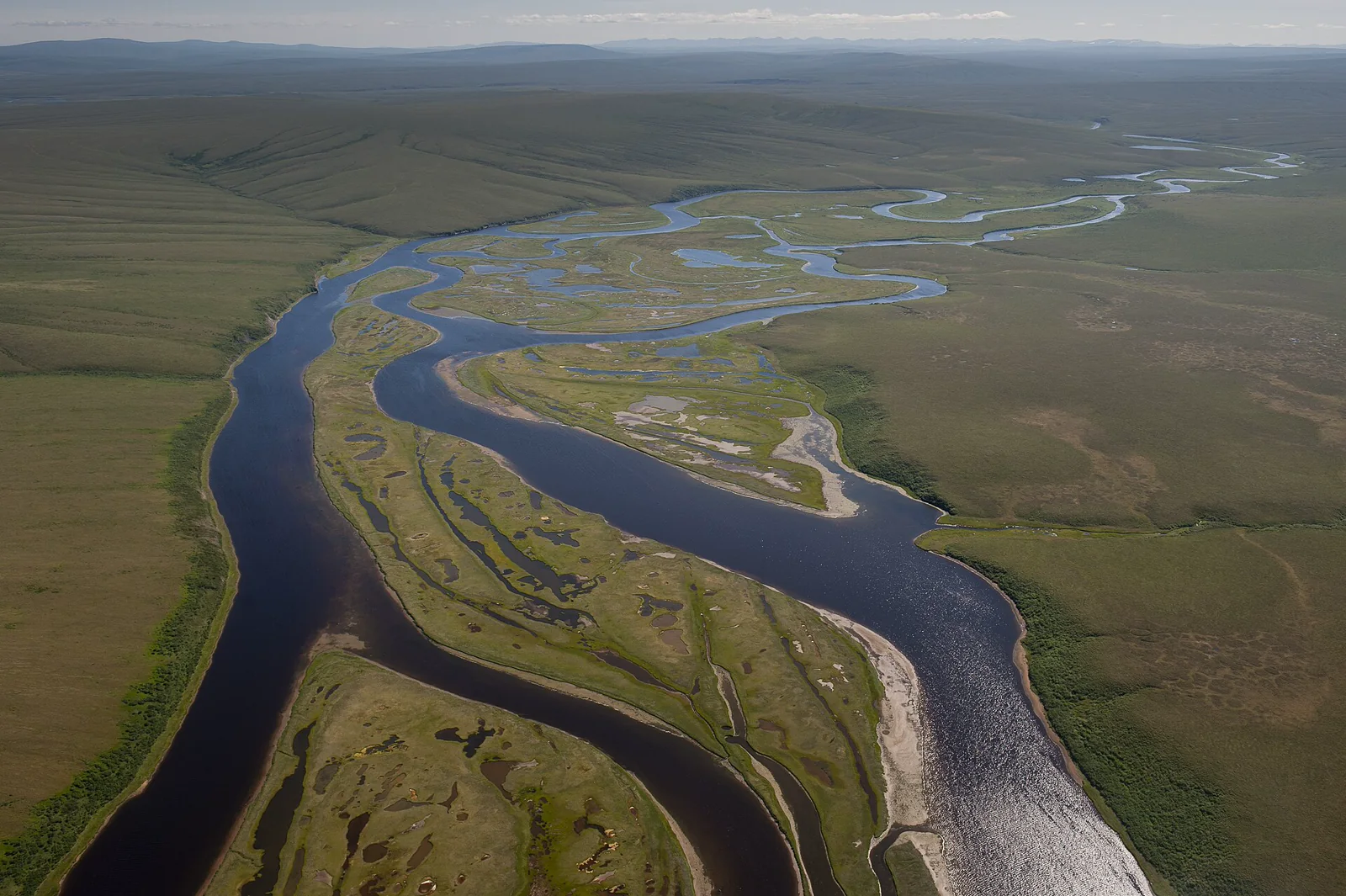
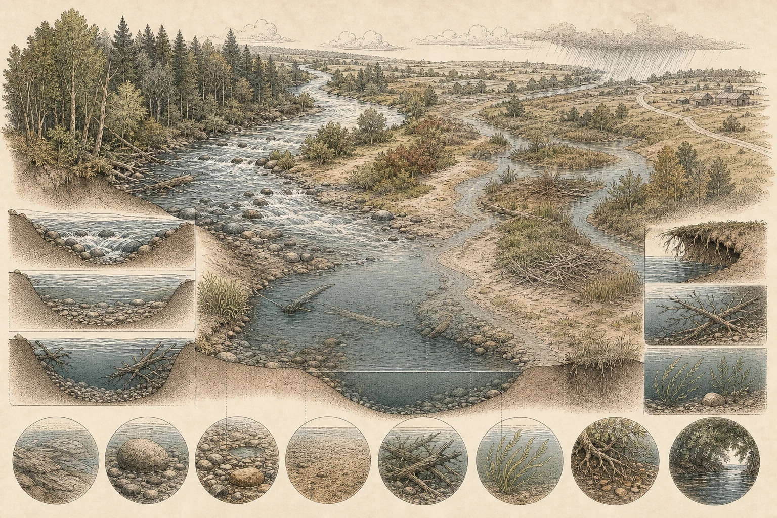
Looking upstream to downstream from a stable overlook, divide the channel into functional hydraulic units: shallow, fast-moving riffles where water breaks noisily over cobbles and oxygenates the stream; deeper, steadier runs where current glides with minimal surface chop; and scoured pools on outside bends or below ledges where water slows and deepens. Also map quiet eddy pockets behind boulders, slackwater side channels, gravel point bars, midstream islands, and cooler tributary plumes. While textbooks illustrate neat riffle-run-pool sequences, natural rivers vary with gradient and geology, so describe the actual sequence in front of you. [1][2][5]
- Sketch the order and approximate length of units from one fixed viewpoint.
- Watch floating leaves or foam to reveal current paths without adding objects.
- Describe uncertain depth as apparent rather than measured.
Read substrate, cover, and banks
Where water clarity allows, compare riverbed substrates across flow units—from scoured bedrock ledges and boulder gardens to clean cobble-gravel riffles and silty backwater eddies. Next, locate in-channel structural cover: jammed rootwads, submerged log jams, trailing willow branches, macrophyte beds, undercut banks on outside meander bends, and canopy shade corridors. In U.S. Environmental Protection Agency and Geological Survey stream habitat protocols, this combination of bed texture and structural complexity creates the low-velocity velocity shelters, spawning gravels, and macroinvertebrate attachment surfaces that organize fish, amphibians, dippers, kingfishers, and river otters. [1][2][5]
- Use polarized viewing or shade only from a stable permitted location.
- Note bank erosion and deposition as observations, not automatic diagnoses.
- Leave wood, stones, and bank vegetation in place.
Include the riparian corridor and floodplain
A river channel never functions in isolation from its valley floor. Map the lateral bands moving outward from the water's edge: exposed gravel and damp sandbars, flood-scoured sedge and willow benches, cottonwood or sycamore gallery forest, oxbow sloughs, and any artificial levees, riprap walls, or road embankments that pinch the floodplain. Intact riparian vegetation shades the water column, anchors banks with root networks, drops autumn leaves and terrestrial insects that fuel aquatic food webs, and serves as a linear travel corridor for migratory songbirds, bats, mink, and herons. [1][2][3]
- Photograph across the channel and back toward the surrounding land.
- Note gaps in streamside cover without assuming why they formed.
- Watch branches, exposed bars, and quiet margins for wildlife from a distance.
Make flow part of every comparison
Streamflow integrates watershed precipitation, snowmelt, groundwater baseflow, and upstream dam or irrigation operations, reshaping habitat geometry from week to week. High spring discharge submerges gravel bars and pushes fish and wading birds into flooded floodplain margins, whereas late-summer baseflow exposes cobble riffles and concentrates aquatic prey in deep thermal-refuge pools. Always record the date, time, recent rain, water stage against a bridge pier or boulder landmark, and water clarity alongside your sightings—and remember that visual clarity or foam alone never substitutes for chemical water-quality testing. [1][2][3][4]
- Repeat photographs from the same legal overlook after different flow periods.
- Keep wildlife counts tied to duration, route, weather, and water stage.
- Use official gauges and local guidance for quantitative flow or access decisions.
Related guides
Get Fauna and identify it in the field.
Where this guide comes from
Source-checked editorial guide. Last updated . This guide teaches identification and field skills; it is not a substitute for expert verification when it matters.
- U.S. Environmental Protection Agency CADDIS — Physical Habitat ↗
- U.S. Environmental Protection Agency — Stream Habitat Walk ↗
- U.S. Environmental Protection Agency — Riparian and channel alteration ↗
- U.S. Geological Survey Water Science School — Streamflow and the Water Cycle ↗
- U.S. Geological Survey — Stream habitat characterization methods ↗