Reading a wetland
Wetlands are shaped by persistent or recurring water, hydric soils, and adapted vegetation, but surface water is not always present. Read several zones and seasons rather than judging the habitat from one shoreline view.
Last updated
Read the water pattern across time
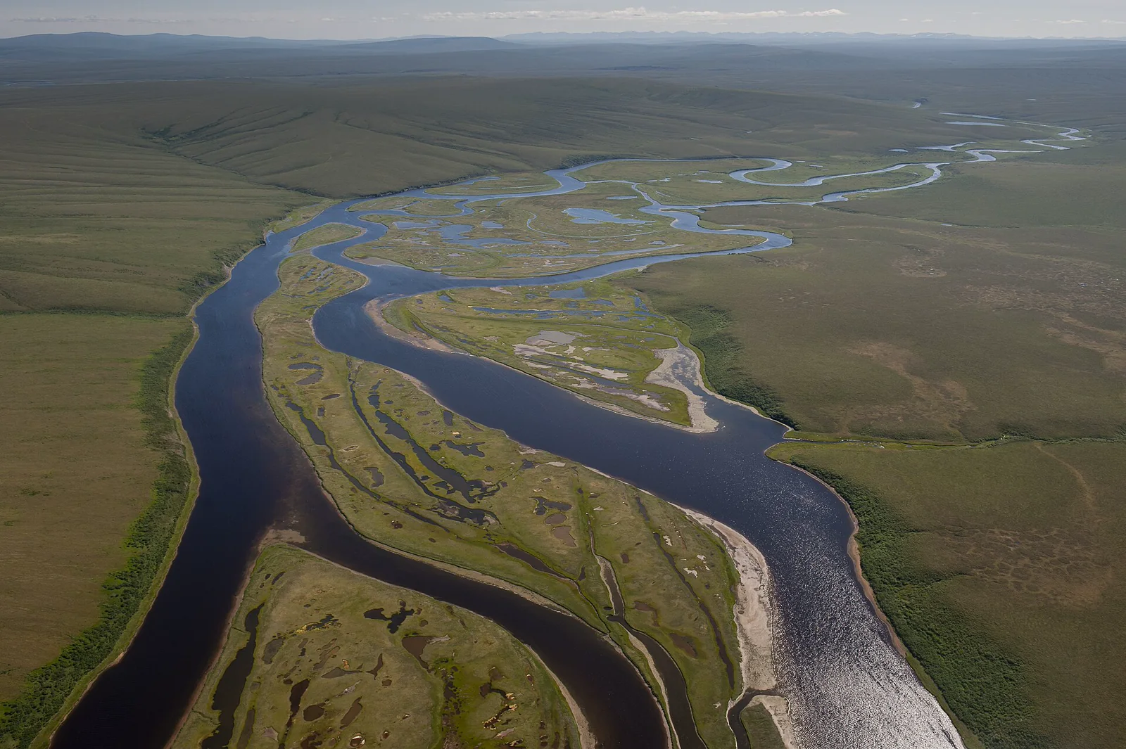
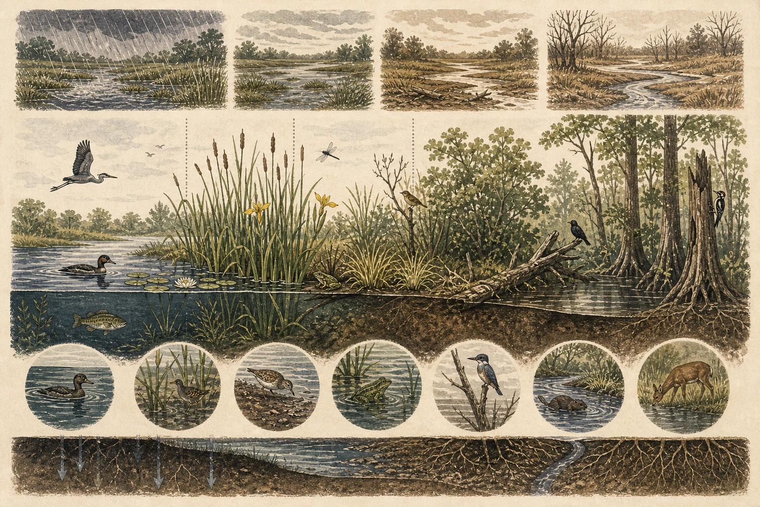
Start by looking both at standing or slow-moving surface water and at the physical clues left by recent water levels: silt rings on plant stems, wrack lines of dead reeds, water-stained tree buttresses, cracked mud polygons, and shallow drainage swales. Under U.S. Environmental Protection Agency frameworks, marshes, swamps, bogs, and fens operate on very different hydrologic schedules, and many seasonal wetlands hold surface water only during spring snowmelt or wet-season rains. A dry-looking basin in late summer often reflects a normal hydroperiod phase rather than habitat loss. [1][2][4]
- Record recent precipitation and the apparent high-water boundary.
- Distinguish permanent open water from temporary puddles where possible.
- Repeat photographs from the same boardwalk or permitted viewpoint.
Map vegetation zones rather than one shore
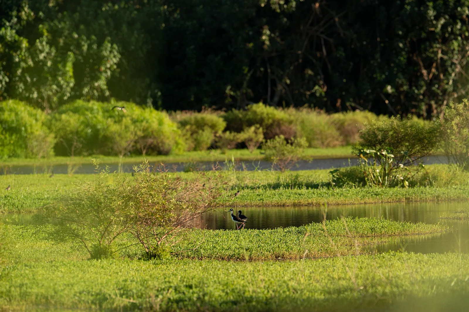
Trace how plant growth forms sort along depth and saturation gradients: submerged pondweeds and floating duckweed or water lilies in deeper water, emergent cattails, bulrushes, and arrowheads in the shallow littoral belt, tussock sedges and wet-meadow grasses along saturated margins, and flood-tolerant buttonbush, willows, alders, or swamp hardwoods on slightly higher ground. Even before you identify individual plant species, mapping stem height, clump density, and open water seams reveals the structural mosaic that partitions wetland wildlife—while formal regulatory wetland delineation requires technical soil, hydrologic, and botanical sampling. [1][2][3]
- Photograph dominant growth forms without trampling the margin.
- Note dead standing stems, litter, bare mud, and open gaps as well as green plants.
- Treat invasive-species or condition diagnoses as separate, evidence-heavy questions.
Scan the interfaces for wildlife
Work your binoculars methodically across the seams where two structural zones meet: open water against emergent reeds, receding mud rims beside sedge hummocks, partly submerged logs, overhanging willow branches, and small inlet or outlet trickles. Diving and dabbling waterfowl, stalking herons and stilts, probing shorebirds, calling frogs, basking turtles, and patrolling dragonflies each occupy narrow combinations of water depth and cover. Because rails, bitterns, and marsh wrens slip silently between vertical stems, tracks on soft mud or territorial calls from the reeds often outnumber open sightings. [2][3][5]
- Use binoculars before approaching a mudflat or roosting area.
- Listen from one position long enough for activity to resume.
- Keep wildlife counts tied to the zone in which each animal was observed.
Record conditions without overdiagnosing
Log the date, time of day, apparent water stage against a boardwalk pilings or boulder landmark, recent rainfall, wind, visible plant phenology, observation duration, and nearby human activity such as mowing, ditch maintenance, dogs, or watercraft. Dark tea-colored water in a peat wetland, seasonal filamentous algae in a warm late-summer marsh, or a quiet midday bird count can prompt worthwhile follow-up questions, but visual impressions alone cannot establish chemical water quality or ecological impairment. Stay on boardwalks and durable paths so repeated visits never trench soft hydric soils. [1][3][4][5]
- Use fixed photographs to compare water extent across visits.
- Report unusual wildlife mortality to the relevant land or wildlife authority.
- Leave formal delineation and water-quality conclusions to appropriate protocols.
Related guides
Get Fauna and identify it in the field.
Where this guide comes from
Source-checked editorial guide. Last updated . This guide teaches identification and field skills; it is not a substitute for expert verification when it matters.
- U.S. Environmental Protection Agency — What is a Wetland? ↗
- U.S. Environmental Protection Agency — Classification and Types of Wetlands ↗
- U.S. Environmental Protection Agency — Wetland Vegetation Indicator ↗
- U.S. Environmental Protection Agency — Wetlands Report on the Environment ↗
- National Park Service — Seven Ways to Safely Watch Wildlife ↗