Reading a desert
A desert is not one empty surface. Washes, springs, rock faces, caves, dunes, soils, and vegetation patches create sharply different conditions, while much wildlife activity shifts with season and time of day.
Last updated
Map the landforms and water pathways
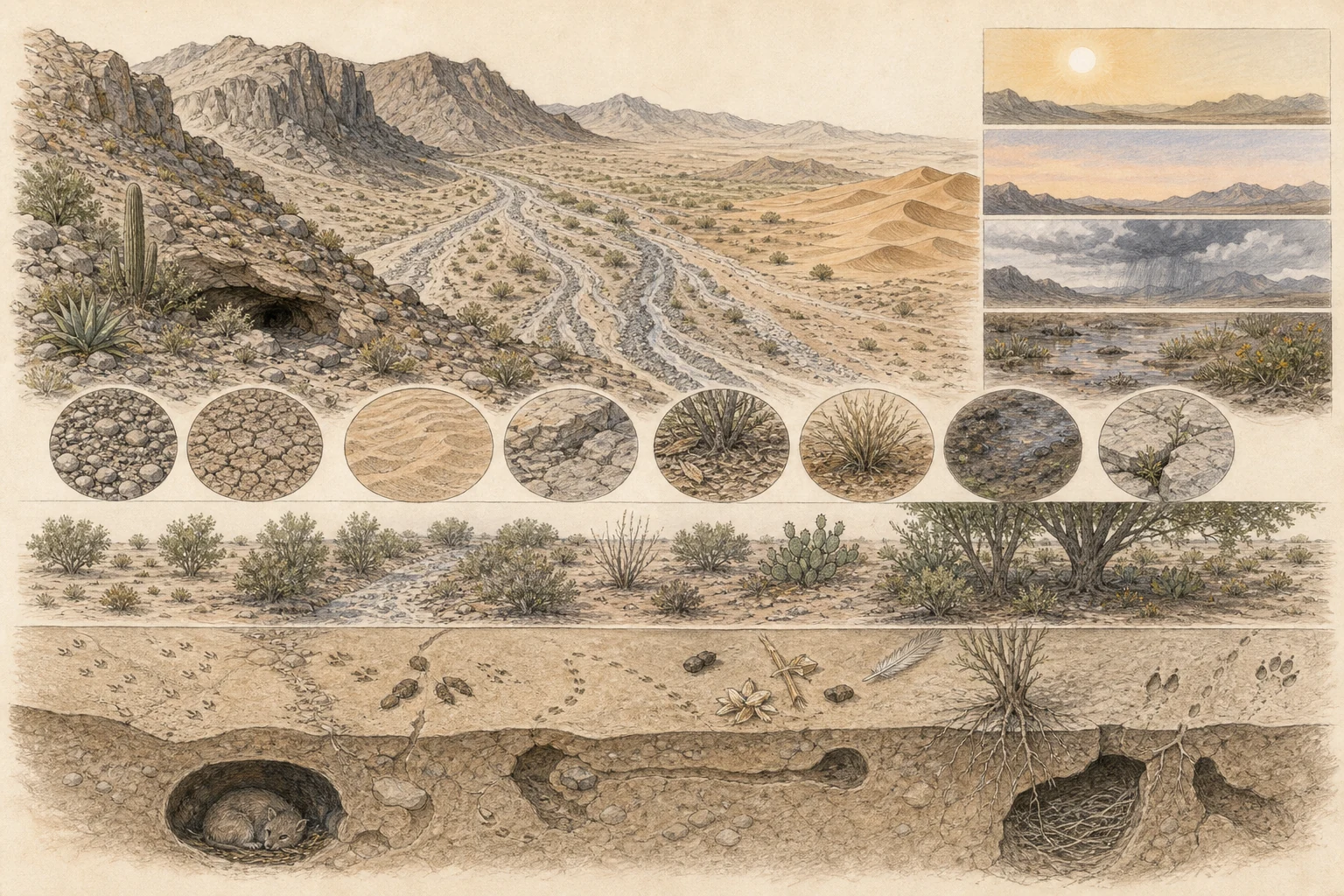
Start with desert geomorphology: separate high mesas and rocky ridges, sloping alluvial bajadas, braided sandy arroyos or washes, alkali flats, windblown dunes, cliff faces, and shaded canyon alcoves. Even when bone-dry at the surface, desert washes act as runoff channels and subsurface moisture corridors that support deeper-rooted mesquite, desert willow, or acacia thickets distinct from the surrounding creosote flats. Isolated springs, canyon seeps, and rain-filled bedrock tinajas are tiny hydrological anchors with outsized wildlife value, so scan them with optics from well back rather than camping or lingering beside the water. [1][2][3][5]
- Trace where runoff would enter and leave the scene.
- Note shade, exposure, slope direction, and sheltered cracks separately.
- Follow site guidance around washes because storms can change them rapidly.
Read the surface and plant spacing
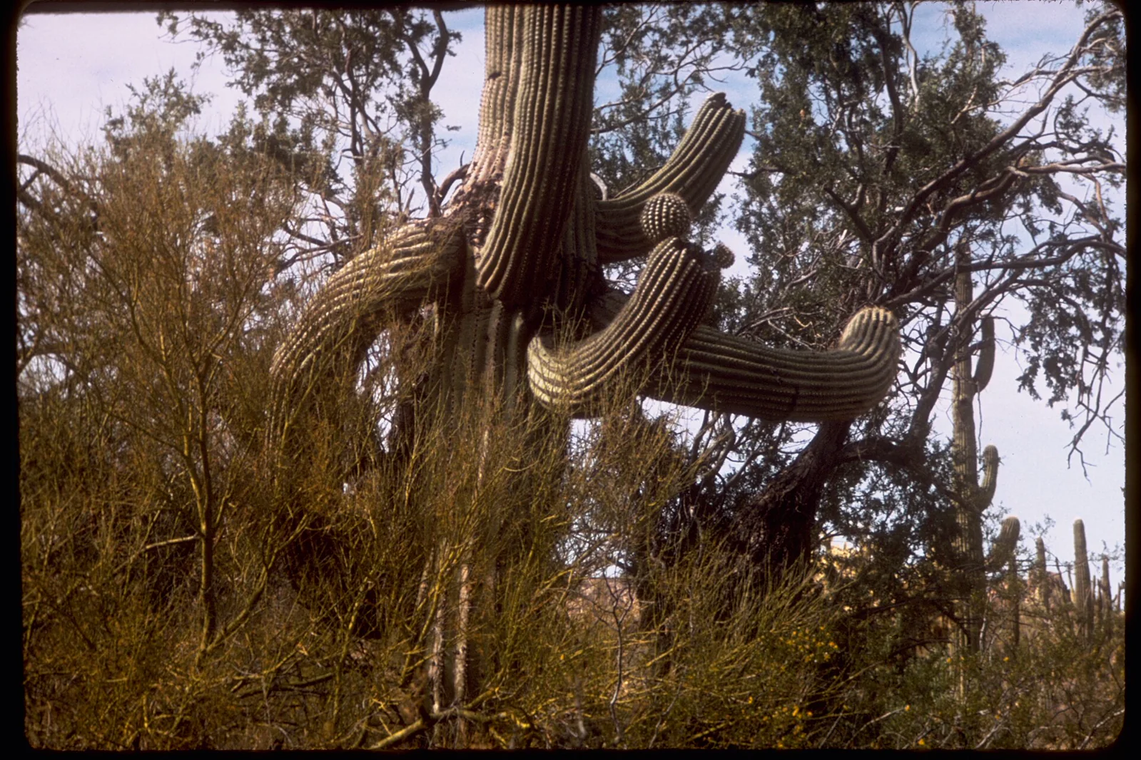
Look closely at the substrate mosaic: interlocking desert pavement pebbles, fragile dark biological soil crusts composed of cyanobacteria, lichens, and mosses, wind-rippled sand sheets, fractured talus, and organic litter mounds accumulating beneath nurse shrubs. Notice whether cacti, yuccas, and woody shrubs grow in wide regular spacing across dry flats, cluster tightly along drainage ribbons, or shelter beneath the canopy of ironwood and palo verde trees. Never mistake open ground between shrubs for lifeless dirt—stay strictly on durable rock, sandy wash bottoms, or marked trails so a single boot print does not crush decades-old soil crust. [1][2][4][5]
- Photograph soil surfaces without stepping closer for texture.
- Look beneath overhangs and shrubs from a distance for shade-dependent activity.
- Do not infer plant stress or groundwater condition from spacing alone.
Let time and weather change the survey
In warm arid basins, surface temperatures climb rapidly after sunrise, compressing observable vertebrate and insect activity into cool dawn and dusk windows or full nocturnal schedules. Yet desert rhythms also shift with elevation, winter cold fronts, and bimodal or monsoon rainfall. A single summer thunderstorm or winter rain can transform a quiet creosote flat within hours, triggering spadefoot toad choruses in ephemeral pools, mass termite and ant flights, blooming annuals, and fresh reptile and mammal tracks across damp sand. Always pair your checklist with air and shade conditions rather than judging a desert basin from one hot afternoon walk. [1][2][3][4]
- Record temperature, cloud cover, wind, shade, and observation time.
- Listen and scan from one place before walking to another microhabitat.
- Use local closures and current weather information when planning any revisit.
Use sign to connect hidden activity
Because kangaroo rats, kit foxes, desert tortoises, scorpions, and rattlesnakes spend much of the twenty-four-hour cycle underground or wedged in rock crevices, field sign often tells the richest story. Scan fine windblown sand and dry wash silt in early morning low-angle light for tail drags, paired hopping prints, beetle trackways, and lizard belly grooves; check the base of cholla, mesquite, and bursage mounds for woodrat middens, burrow aprons, and husked seed piles. Because wind and flash runoff erase desert tracks quickly, photograph sign with scale in its microhabitat context and avoid probing crevices or burrows. [1][2][3][5]
- Check sandy wash margins and sheltered deposits without entering burrows.
- Distinguish an observed animal from a candidate suggested by sign.
- Leave springs, caves, nests, dens, and fragile surfaces undisturbed.
Related guides
Get Fauna and identify it in the field.
Where this guide comes from
Source-checked editorial guide. Last updated . This guide teaches identification and field skills; it is not a substitute for expert verification when it matters.