Responsible wildlife geotagging
A useful observation can preserve true coordinates without broadcasting them. Assess disclosure risk before posting, use platform geoprivacy rather than fake points, remove clues in captions and media, and document why and how a public location was generalized.
Last updated
Separate capture from publication
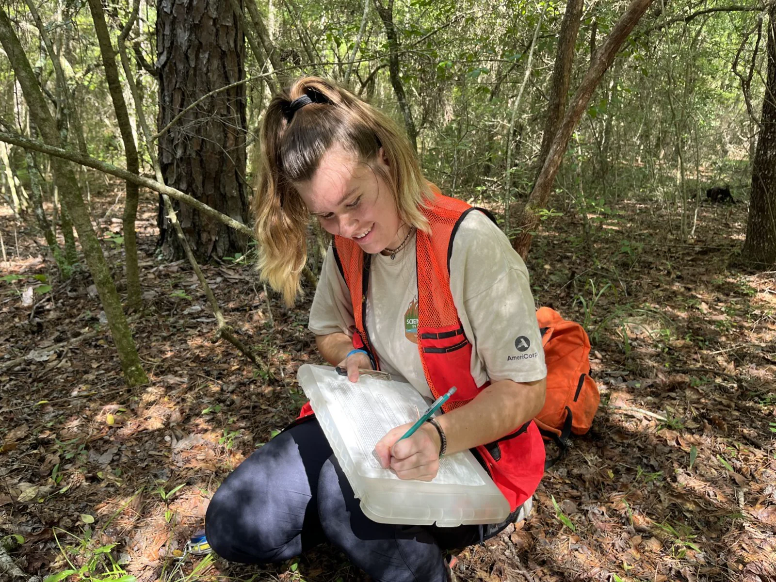
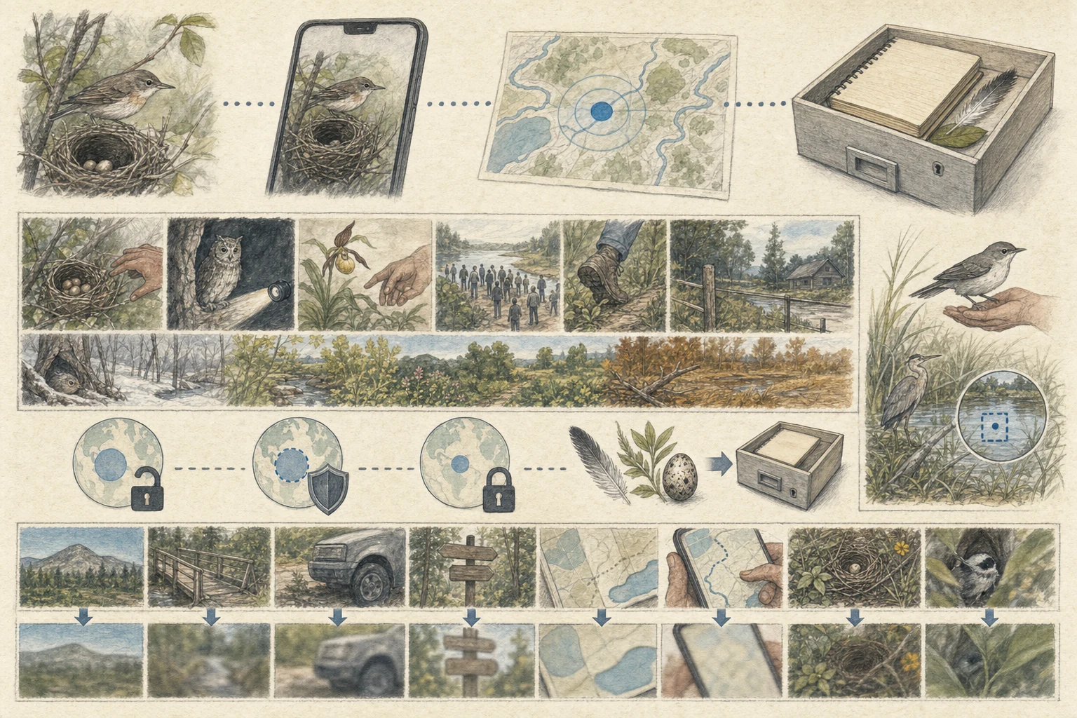
Recording accurate GPS coordinates in the field is one of the greatest gifts an observer can give to conservation science, yet broadcasting those exact coordinates to the public internet the same afternoon can put a vulnerable animal or plant in immediate danger. Let your phone, camera, or field notebook capture the true location for your own private archive, and wait until you are home to decide what level of public detail is safe to share. Delaying publication by a few days or until a sensitive nesting or roosting window has ended removes real-time crowd pressure while preserving the scientific value of your observation. [1][4][5]
- Record accurate coordinates in your private field notes or camera files while you are on site.
- Wait until you leave the field—or until a breeding season ends—before posting sensitive sightings publicly.
- Treat private data capture and public location sharing as two separate decisions with different risk standards.
Assess harm, not rarity alone
A species does not have to be globally endangered for an exact map pin to cause local harm. Ask what would happen if dozens of well-meaning photographers or collectors arrived at your exact spot tomorrow: a winter roost of long-eared owls or a daytime nightjar perch can be flushed repeatedly until the birds abandon the woodlot; a slow-growing terrestrial orchid, cactus, or box turtle can be poached into the pet or horticultural trade; a timber rattlesnake den can attract persecution; and fragile bog moss or alpine tundra can be trampled into mud around a single staked rarity. [1][2][3][5]
- Obscure exact locations for active nests, dens, communal bat or owl roosts, and lekking grounds of any species.
- Protect wild orchids, succulents, reptiles, amphibians, and showy insects targeted by commercial collectors or poachers.
- Consider whether fragile alpine, bog, or dune microhabitats would suffer trampling if crowds followed your pin.
Use documented access controls
Never drag a map pin five miles away onto a random town hall or highway intersection to hide a sighting; falsified precise coordinates corrupt habitat models and confuse future researchers who trust the plotted point. Instead, enter the true location on iNaturalist and set Geoprivacy to 'Obscured' (which displays a broad randomized rectangle to the public while keeping true coordinates accessible to vetted conservation projects you authorize) or 'Private', and on eBird rely on automatic sensitive-species filters or select a broader county- or refuge-level hotspot rather than pinning a stakeout tree. [1][2][3][4]
- Use built-in 'Obscured' or 'Private' geoprivacy settings on iNaturalist rather than placing a fake map pin.
- Select a broad public refuge or regional hotspot on eBird instead of dropping a personal pin on a nest or roost tree.
- Note in your private comments why the location was generalized so vetted researchers understand the context.
Remove indirect location clues
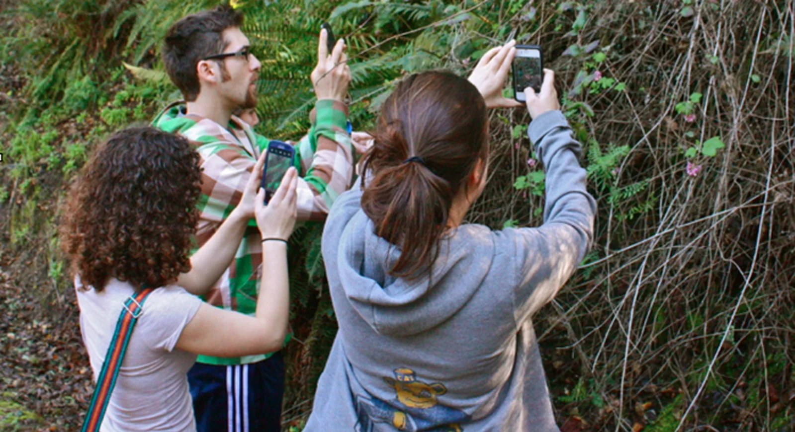
Even when you obscure the map coordinates, a sharp-eyed viewer can often triangulate a sensitive site within minutes from visual breadcrumbs left inside the photograph or caption. Before sharing images of an owl roost, raptor eyrie, rare reptile rock outcrop, or showy slipper orchid on social media or public galleries, check that smartphone EXIF GPS tags are stripped during export. Crop out or avoid framing recognizable mountain skylines, named trailhead signs, distinctive footbridges, mileposts, and Strava-style route maps, and resist naming the specific hollow, trail bend, or parking pullout in the comment thread. [3][5]
- Strip embedded EXIF GPS metadata from image files before posting sensitive wildlife photos to social media or forums.
- Frame wildlife portraits tightly enough to exclude recognizable horizon skylines, trail signs, and structures.
- Keep trail names, mile markers, and parking pullout descriptions out of public captions and comment replies.
Related guides
Get Fauna and identify it in the field.
Where this guide comes from
Source-checked editorial guide. Last updated . This guide teaches identification and field skills; it is not a substitute for expert verification when it matters.