Altitude: it isn't how high, it's how fast
Two assumptions cause most altitude trouble: that being fit helps, and that the height you reach in the day is the risk. Neither is true. Susceptibility is largely genetic and unaffected by training, and the variable that drives illness is where you sleep and how quickly that number climbs. Everything preventable about altitude comes down to the shape of the itinerary.
Scope: Mechanism plus figures from named guidance only: the CDC Yellow Book 2026 high-altitude chapter (which quotes the Wilderness Medical Society ascent recommendations) and the NHS. The Wilderness Medical Society's own 2024 guideline is paywalled and was not read directly; its figures here are as reported by the Yellow Book. Education, not individual medical advice, and not a substitute for pre-travel medical consultation. · Last updated
Fitness is not protection
The Yellow Book puts it in five words: training and physical fitness do not affect risk. Susceptibility to altitude illness is largely genetic, there is no simple screening test that predicts it, and no amount of preparation in a gym changes the number. This matters more than it sounds, because the belief that fitness protects produces exactly the wrong behaviour — strong parties ascend faster, feel entitled to push through symptoms, and arrive at a sleeping altitude their physiology has not been given time to meet. Previous experience is a better guide than fitness: a history of moderate or severe acute mountain sickness, or of HAPE or HACE, moves you into a higher risk category regardless of condition. [1]
- Training and fitness do not reduce risk
- Susceptibility is largely genetic; no screening test predicts it
- Your own past reaction to altitude is the useful predictor
- Fit parties often ascend faster, which is the actual hazard
The number that matters is where you sleep
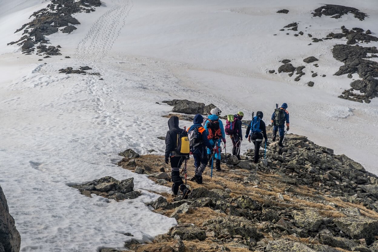
In planning an ascent, the altitude at which someone sleeps matters more than the altitude they reach while awake — which is why climbing high and sleeping low works, and why a day trip to a viewpoint is a different proposition from a night at the same elevation. The figures the Yellow Book carries are concrete. Avoid ascending to a sleeping altitude of 2,750 m or more in a single day. Above 3,000 m, gain no more than about 500 m of sleeping altitude per night. Add an extra night to acclimatise for every 1,000 m of sleeping-altitude gain, and take a rest day every three or four days. Two to three nights around 2,450–2,750 m before going higher is markedly protective on its own. [1][2][3]
- Sleeping elevation is the variable — climb high, sleep low
- Avoid a first night at 2,750 m or above reached in a single day
- Above 3,000 m: no more than ~500 m of sleeping gain per night
- One extra acclimatisation night per 1,000 m gained; rest day every 3–4 days
- NHS: do not go from below 1,200 m to above 3,500 m in one day
Three illnesses, and which one is killing you
Acute mountain sickness is the common one and presents like a hangover, with headache as the cardinal symptom plus nausea, fatigue, or dizziness, typically 2–12 hours after arriving at altitude. The two dangerous forms are separate emergencies. High-altitude cerebral edema is described as end-stage AMS: altered mental status, confusion, drowsiness, and ataxia — the person cannot walk a straight line. High-altitude pulmonary edema can be more rapidly fatal than HACE, and shows as chest congestion, cough, and breathlessness progressing to respiratory distress, sometimes with frothy or blood-stained sputum. The useful field discriminators are simple: can they think clearly, and can they walk heel-to-toe. [1][3]
- AMS: headache plus nausea, fatigue, or dizziness, 2–12 hours after ascent
- HACE: confusion, drowsiness, loss of coordination — end-stage AMS
- HAPE: breathlessness at rest, cough, frothy or bloody sputum — can kill fastest
- Field tests: clarity of thought, and walking a straight line heel-to-toe
- Symptoms usually begin 6–10 hours after arriving at altitude
The rule that prevents the deaths
Almost every altitude fatality involves someone who went higher while already unwell. The rule is absolute and does not require a diagnosis: never ascend to sleep at a higher altitude while experiencing symptoms of altitude illness. Rest at the altitude you are at, and if symptoms worsen despite rest, descend. The NHS gives a workable figure — drop 300 to 1,000 m. Descent is the treatment; oxygen, drugs, and pressure bags buy time to make descent possible, they do not replace it. Anyone with confusion, ataxia, or breathlessness at rest should be taken down immediately and should not descend alone. [1][3]
- Never sleep higher on a day you have symptoms
- Worsening despite rest means descend — 300 to 1,000 m
- Descent is the treatment; everything else buys time
- Confusion, unsteadiness, or breathlessness at rest: descend now, accompanied
- Never leave a symptomatic person to descend by themselves
Reading your own itinerary
The Yellow Book sorts trips into risk categories by their shape rather than their difficulty, and it is a quick way to audit a plan before booking. Low risk looks like starting below 1,200 m, a first night at 2,750 m or lower, and gains of 500 m or less per day above 3,000 m. High risk looks like a first night above 3,400 m, or gains of 500 m or more per day above 3,000 m with no extra acclimatisation day per 1,000 m. Note what separates medium from high: both ascend fast, but only the high-risk itinerary omits the rest days. Flying or driving straight to a high trailhead is the classic way an otherwise sensible trip lands in the top category on day one. [1][2]
- Low: start below 1,200 m, first night ≤2,750 m, ≤500 m/day above 3,000 m
- High: first night above 3,400 m, or fast ascent with no acclimatisation days
- Rest days are what separate medium risk from high
- Flying or driving directly to a high trailhead skips all your acclimatisation
- A prior history of HAPE or HACE puts you in the high category regardless
Get Fauna and identify it in the field.
Where this guide comes from
Source-checked editorial guide. Last updated . This guide teaches identification and field skills; it is not a substitute for expert verification when it matters.